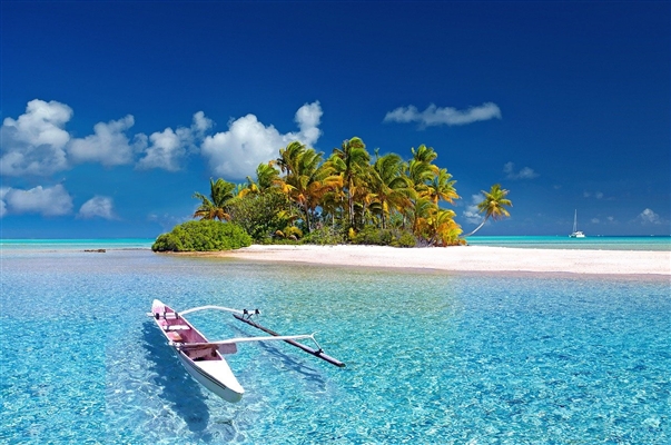
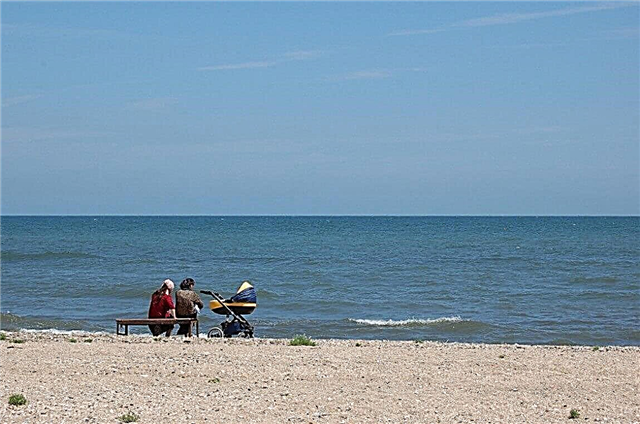
If you look at the location of the largest lakes in Russia, you can see that most of them are located in the northern part of the country. This makes it difficult to attract tourists: even in summer, the water does not warm up enough for a beach holiday. However, there are other factors that attract people to large bodies of water. Fishing comes to the fore. The species diversity of ichthyofauna and good biting force fishermen to travel hundreds of kilometers.
The same goes for waterfowl hunters. Popular rafting, windsurfing, catamarans trips, for example on the Hank. Some lakes are navigable, which helps both economically and in terms of tourism, as in Vygozero. Inspection of natural and architectural monuments in cities on the coast is an obligatory part of excursions. Baikal is one of the most popular natural sites in the country.
The largest lakes in Russia
List of the largest lakes in the country by area!
Caspian Sea
A drainless lake, called the sea because of its size. In addition to Russia, it belongs to 4 more countries. Average depth - 208 meters, maximum - 5 times more. There are proven oil deposits, industrial fishing is carried out, and shipping is developed. Many islands, of which about 50 are the largest. The presence of beaches, springs, therapeutic muds contribute to the development of tourism, but the process is slow.
Area - 390,000 km², depth - 1025 meters.

Baikal
Refers to the territory of the Irkutsk region and Buryatia. The largest freshwater reservoir. There are dozens of natural attractions on Baikal itself and not far from it, including bays, capes, islands. There are also man-made beauties, like the lighthouse operating in the "Baikal Harbor". There are many endemics among the flora and fauna. In terms of tourism, it is one of the main lakes in the country.
Area - 31722 km², depth - 1642 meters.

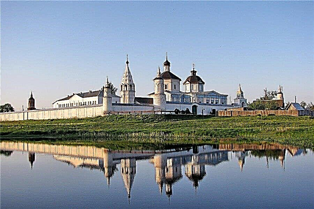
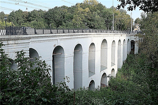
Ladoga
Belongs to the Leningrad Region and Karelia. The total number of islands is more than 500. Recreation centers have been built on the coast, for example, "Horizon", cottage complexes where you can stay, and so on. Sightseeing: Valaam, ancient architecture of different centuries, Nizhnesvirsky reserve, memorials. There are many kayakers in the summer. Trophy-raid "Ladoga" is being held.
Area - 17870 km², depth - 230 meters.

Onega
Belongs to the territory of Karelia, Vologda and Leningrad regions. The average depth is 30 meters. The coast is built up in places, including Petrozavodsk. The architectural, natural and cultural sites of the Kizhi Island attract tourists. Onega petroglyphs can be found on the rocks of different capes and along the coast. Sailing regatta is held regularly.
Area - 9720 km², depth - 127 meters.

Taimyr
Located in the Krasnoyarsk Territory. Since it is located in the Arctic Circle, the climate is harsh. There are many areas of permafrost among the tundra. The species diversity of fish is scarce, although there are Arctic representatives of the ichthyofauna. Birds nest on the islands of the lake. Tourists are interested in the Taimyr nature reserve, holidays of reindeer herders, and the northern lights.
Area - 4560 km², depth - 26 meters.

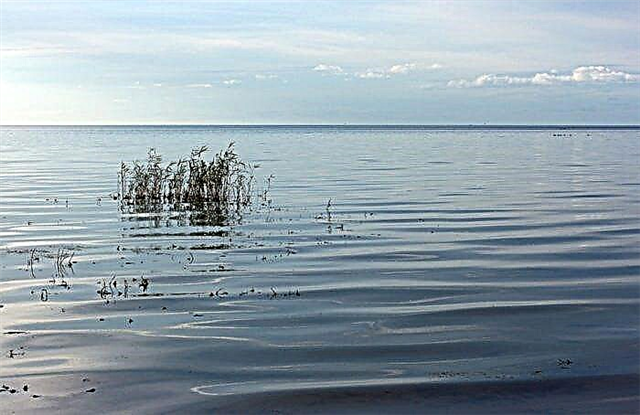
Hanka
The lake belongs to Russia and China. The water is rather cloudy, but it warms up well even earlier than in the Sea of Japan. This has a beneficial effect on the flow of tourists. At the junction of spring and summer, strong winds rise, so windsurfing fans come to the reservoir. There are no refined beaches, but you can find a place to relax. Wild beaches, both sandy and pebbly.
Area - 4190 km², depth - 6.5 meters.

Chudsko-Pskovskoe
Lake complex on the border of Russia and Estonia. The structure includes lakes: Peipsi, Teploe, Pskov. The tourism industry relies on coastal cities, as well as those that are nearby, for example, Pskov. The Battle on the Ice plays an important role in sightseeing tours. Despite the active use of water bodies, there are no problems with the ecology in the region, which is rare for such popular places.
Area - 3555 km², depth - 15 meters.
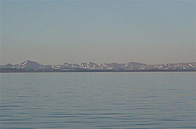
Ubsu-Nur
Belongs to Russia and Mongolia. It is believed that people began to settle near the reservoir thousands of years ago. The district has a wide species diversity of birds and animals. The water tastes more like sea water. In summer it warms up well, even at the bottom. The length of the coastline on the territory of Tyva is about 10 km. It is part of the UNESCO World Heritage Site.
Area - 3350 km², depth - 15 meters.

Vats
Located in the Novosibirsk region. The lake is a system of lakes. There are many islands, shallow areas, channels of different sizes. The abundance of fish and waterfowl attracts hunters and fishermen. You can stop at one of the recreation centers. You have to be careful, there are high waves in the Chany. The north of the reservoir is part of the Kirzinsky reserve.
Area -1990 km², depth - 12 meters.

White
Belongs to the territory of the Vologda region. Part of the Sheksna reservoir. The name is derived from the presence of white clay at the bottom. There are several camp sites, there are sites and the ability to set up a tent camp. Area attractions: partially flooded ruins of the Church of the Nativity of Christ, the Russian North National Park, Kukov Spring.
Area - 1290 km², depth - 20 meters.

Topozero (Loukhsky district)
Lake of the Republic of Karelia, which is part of the Kumskoye reservoir. Most of the 144 islands are located in the southwestern part. The coastline is indented, and the bottom with elevation differences. Kayakers and catamaran riders come here. The water remains cool even in summer. Near Paanajärvi National Park. There are hiking trails around the lake.
Area - 986 km², depth - 56 meters.

Ilmen
Located in the Novgorod region. The color of the water is yellowish, the reason for this phenomenon is the high content of organic matter. Waves up to two meters can rise. Fish cooperatives have been working here for decades. There are several sandy beaches. The sites of ancient people were found in the vicinity. People often come to the lake as part of excursions to Veliky Novgorod.
Area - 982 km², depth - 10 meters.

Khantayskoe
Belongs to the territory of the Krasnoyarsk Territory. Also called Khutarmo or Big Khantayskoye. It is connected with the Small Khantaysky by a short channel. There are few settlements nearby, only one on the coast. Around the tundra and forest-tundra, the basin is partially covered with ice and permafrost. The main tourist destinations are fishing and ecotourism.
Area - 822 km², depth - 420 meters.

Segozero
Geographically it belongs to the Republic of Karelia. Through Segezha it is connected with Vygozero. The coastline is indented, bays and capes were formed. There are many legends about anomalous events that took place near the reservoir. Two tourist destinations - fishing and rafting on the lake and surrounding rivers. There is a camp site of the same name and a trout farm.
Area - 815 km², depth - 103 meters.

Imandra
The lake of the Murmansk region was turned into a reservoir in the 50s of the last century during the construction of a cascade of Nivskie HPPs. The largest of more than 140 islands is Yerm. Every year in mid-spring, a marathon race is held under winter sails. The lake is also used for other sports and training. Attraction nearby - Lapland Nature Reserve.
Area - 812 km², depth - 67 meters.

Pyasino
Location - Krasnoyarsk Territory. For most of the year, the surface is covered with water. Fishermen come here bypassing the difficulties: in the summer - swampy areas, in the winter - a thick snow cover. The fishing farm of the same name with the lake organizes fishing tours. The company provides a transfer, as well as prepares gear and more.
Area - 735 km², depth - 10 meters.

Kulundinskoe
The largest lake in the Altai Territory.Formed as a result of the shallowing of a larger lake basin. The eastern part of the reservoir - groups of islands, bays, rugged coastline. There are also beaches, as well as comfortable places to relax. It is connected with Lake Kuchuk through a channel. It does not freeze in winter, and in summer it warms up well and quickly, since the depth is relatively shallow.
Area - 728 km², depth - 4 meters.

Pyaozero
Located in the north of Karelia. The lake is part of the Kumsky reservoir. After the construction of the dam in 1966, the water level rose significantly. The largest of the 66 islands have buildings, including for fishermen, and these land areas are also rich in berries. In the past, there were passenger lines and shipping was active.
Area - 659 km², depth - 49 meters.

Vygozero
Belongs to the territory of Karelia. The name is derived from the river. It is a reservoir created in 1933 during the construction of the White Sea-Baltic Canal. The rocky shores are higher in the north than in the south. There are more than 500 islands. The shipping is active, the lake is used for both freight and tourist traffic. Travelers can stay in local hotels, such as Topaz-Cola.
Area - 560 km², depth - 24 meters

Nerpichye
Brackish lake of the Kamchatka Territory. In the distant past, it was a sea bay. About 100 rivers flow in. Connects to the Pacific Ocean through the bay. Islands - Kirun, Sivuchiy, etc. On the coast you can see seals rookeries, and in the fall - a population of swans. For fishermen, Nerpichye is attractive for its good bite and variety of species. There are home hotels in Ust-Kamchatsky.
Area - 552 km², depth - 12 meters.

Labaz
Fresh lake of the Krasnoyarsk Territory. The basin of the reservoir is rich in deposits of coal, oil and gas. There is little vegetation, undersized shrubs prevail. The forest can be found only in the northeast. There are many waterfowl in the warmest periods of the year. Ecotourism has potential, but is not yet in demand. But fishermen gather at Labaz, both in summer and in winter.
The area is 470 km².

Red
Located in the Chukotka Autonomous Okrug. The name comes from the color of the igneous coastline. During the formation of the basin, volcanic activity was increased. Getting to the lake is not easy, and the cold also affects the number of tourists visiting these places. But nature has remained relatively intact. Has the status of a natural monument.
Area - 458 km², depth - 4 meters.
Chum
Located on the Putorana plateau in the Krasnoyarsk Territory. Rafting and regattas are held on the lake, rivers flowing into it are also involved. The sights of the area are waterfalls and caves. There are hunting grounds and camp sites, fishing tours are organized. Underwater fishing and catamaran riding are popular. The water warms up weakly, up to a maximum of +17 ° С.
Area - 452 km², depth - 180 meters.

Ubinskoe
A drainless lake with fresh water in the Novosibirsk region. The translation of the name - "swampy place", swamps all around, reeds and sedge near the coast. The lowering of the water level negatively affected the fish fauna. Both the number of fish and their species diversity have decreased. Sightseeing: Zarechno-Ubinsky burial ground - more than 150 mounds of different centuries, starting from the 6th century.
Area - 436 km², depth - 4 meters.

Pekulneyskoe
Location - Chukotka Autonomous Okrug. Alluvium spits separate the lake from the Bering Sea. The banks are very different in relief, the southern one is the flattest and lowest. Tundra vegetation predominates. The reservoir is interesting to fishermen because of the large population of sockeye salmon. The abundance of fish also attracts bald gulls, which are not afraid of low temperatures.
Area - 435 km², depth - 10 meters.

Umbozero
Located in the Murmansk region. Around the mountain ranges, including the Khibiny. For this reason, such a name was received, translated as "closed lake". There are several islands, including Sarvanovsky, Bolshoi, Moroshkin. Fishing does not stop even in winter, when the surface is covered with ice. Tourists come for kayaking and mountain climbing.
Area - 422 km², depth - 115 meters.

Reins
Lake in the Vologda region. In the western part there are sections of the coast that resemble beaches, but the rest of the area is swampy, thickets of reeds are everywhere. Fishing is massive, sport fishing is also allowed. Small settlements do not have tourist infrastructure. On Spassky Island there are the remains of the 17th century monastery walls.
Area - 422 km², depth - 4 meters.

Kubenskoe
Refers to the territory of the Vologda region. The area around is swampy. About 30 rivers flow in. A dam with a shipping lock was installed on the outflowing Sukhona, thanks to which the water level in Kubenskoye is regulated. For this reason, the area of the lake is changeable. The main attraction is the Spaso-Kamenny Monastery on Kamenny Island.
Area - 407 km², depth - 13 meters.

Chukchagirskoe
Located in the Khabarovsk Territory. 3 islands divide the freshwater lake into three streams. There are also smaller land areas in the central part of the reservoir, as well as floating islands. The coastline is uneven; wetlands are found in the north. The Chukchagir settlement was founded in the northeast. It is powered by snow and groundwater.
Area - 366 km², depth - 6 meters.

Tailor
Freshwater lake of the Krasnoyarsk Territory. There is no exact depth data. Ice lies on the surface from early autumn to mid-summer; in especially cold years it does not completely melt at all. In the center of the reservoir there is a rocky island, where there are many feathered inhabitants. Bird colonies are also found on the coast. The lake attracts anglers, including for winter fishing.
Area - 360 km².